

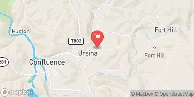
Laurel Hill Creek At Ursina, Pa Realtime Data
LAUREL HILL CREEK AT URSINA, PA
Realtime Data • Report • Conditions
86
Discharge (cfs)
1.2
Gauge Height (ft)
USGS 03080000
Streamflow discharge was last observed at 86 cfs, and a gauge height of 1.20 feet.
With the
% decrease since yesterday,
the streamflow average over the past 10 days is 173 .
Weather today, Tomorrow,
The creek flows through a narrow valley and is impounded by the Quemahoning Dam upstream. Seasonal trends show higher flows in the spring due to snowmelt and lower flows in the summer and fall. The hydrology of the Laurel Hill Creek is interesting as it is home to the endangered eastern hellbender salamander, which relies on clean, cold water to survive. Additionally, the creek is a popular destination for trout fishing and kayaking.
October 26, 2026
| Elevation | 1,338.0 ft |
| Last Updated | |
| Gage height, ft | 1.2 ft |
| Stream water level elevation above NAVD 1988, in ft | 1335.5 ft |
| Streamflow, ft³/s | 86.3 ft3/s |
| Percent of Normal | 156% |
| Year Over Year Average | 55 cfs |
| 24hr Flow Prediction | cfs |
| Maximum Recorded | 6,040 cfs |
| Geolocation | 39.82, -79.32 |
 Continue with Snoflo Premium