

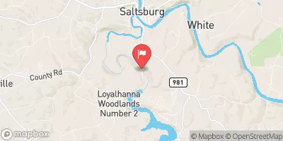
Loyalhanna Creek At Loyalhanna Dam, Pa Realtime Data
LOYALHANNA CREEK AT LOYALHANNA DAM, PA
Realtime Data • Report • Conditions
106
Discharge (cfs)
0.9
Gauge Height (ft)
USGS 03047000
Streamflow discharge was last observed at 106 cfs, and a gauge height of 0.90 feet.
With the
% decrease since yesterday,
the streamflow average over the past 10 days is 288 .
Weather today, Tomorrow,
The main constituents of the watershed include forests, farmland, and urban areas. Seasonally, the streamflow tends to be highest in late winter and early spring due to snowmelt, and lowest in late summer and early fall. One interesting fact about the hydrology of the Loyalhanna Creek is that it was once used for transportation of goods and people during the early settlement of the region. Overall, the Loyalhanna Creek streamgauge provides valuable information for monitoring and managing this important watershed.
October 8, 2026
| Elevation | 865.0 ft |
| Last Updated | |
| Gage height, ft | 0.9 ft |
| Streamflow, ft³/s | 106.0 ft3/s |
| Stream water level elevation above NAVD 1988, in ft | 871.08 ft |
| Temperature, water, °C | 16.1 deg C |
| Percent of Normal | 90% |
| Year Over Year Average | 119 cfs |
| 24hr Flow Prediction | cfs |
| Maximum Recorded | 4,940 cfs |
| Geolocation | 40.46, -79.45 |
 Continue with Snoflo Premium