

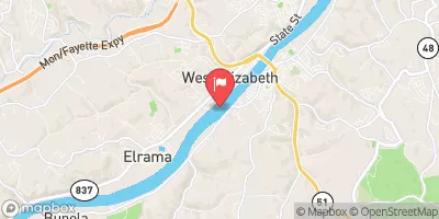
Monongahela River At Elizabeth, Pa Realtime Data
MONONGAHELA RIVER AT ELIZABETH, PA
Realtime Data • Report • Conditions
21,100
Discharge (cfs)
8.6
Gauge Height (ft)
Streamflow discharge was last observed at 21,100 cfs, and a gauge height of 8.59 feet.
With the
% decrease since yesterday,
the streamflow average over the past 10 days is 40,760 .
Weather today, Tomorrow,
The river's flow is influenced by many constituents, including precipitation, snowmelt, and urban and agricultural runoff. Specific tributaries contributing to the Monongahela River include the Youghiogheny River, Cheat River, and Tygart Valley River. The Point Marion Lock and Dam, located upstream, can affect the river's flow. The river's flow is generally highest in the springtime due to snowmelt and precipitation, and lowest in the summer and fall. Interestingly, the Monongahela River was once used as a major transportation route for coal and petroleum products.
October 23, 2026
| Elevation | 727.0 ft |
| Last Updated | |
| Gage height, ft | 8.59 ft |
| Stream water level elevation above NAVD 1988, in ft | 725.93 ft |
| Streamflow, ft3/s | 21100.0 ft3/s |
| Specific conductance, water, unfiltered, microsiemens per centimeter at 25°C | 294.0 uS/cm @25C |
| Dissolved oxygen, water, unfiltered, mg/L | 4.4 mg/l |
| pH, water, unfiltered, field, standard units | 7.6 std units |
| Temperature, water, degC | 17.4 deg C |
| Percent of Normal | 128% |
| Year Over Year Average | 16,459 cfs |
| 24hr Flow Prediction | cfs |
| Maximum Recorded | 178,000 cfs |
 Continue with Snoflo Premium