

Nb Sugar Creek Trib Near Columbia Cross Roads, Pa Realtime Data
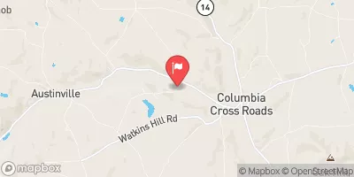
NB SUGAR CREEK TRIB NEAR COLUMBIA CROSS ROADS, PA
Realtime Data • Report • Conditions
0
Discharge (cfs)
0.5
Gauge Height (ft)
USGS 01531250
Streamflow discharge was last observed at 0 cfs, and a gauge height of 0.51 feet.
With the
% decrease since yesterday,
the streamflow average over the past 10 days is 1 .
Weather today, Tomorrow,
The flow providers of this tributary are primarily from precipitation and runoff from surrounding land areas. The tributary has no significant dams or specific related tributaries. Seasonal trends show that the flow is highest during the spring months due to snowmelt, and lowest during the summer months. Interestingly, the hydrology of this tributary is not well researched, making it an area for potential future studies.
October 10, 2026
| Elevation | 1,144.0 ft |
| Last Updated | |
| Gage height, ft | 0.51 ft |
| Stream water level elevation above NAVD 1988, in ft | 1136.6 ft |
| Streamflow, ft³/s | 0.33 ft3/s |
| Percent of Normal | 41% |
| Year Over Year Average | 1 cfs |
| 24hr Flow Prediction | cfs |
| Maximum Recorded | 3,640 cfs |
| Geolocation | 41.84, -76.83 |
 Continue with Snoflo Premium