

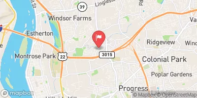
Paxton Creek Near Glenwood Realtime Data
PAXTON CREEK NEAR GLENWOOD
Realtime Data • Report • Conditions
6
Discharge (cfs)
1.9
Gauge Height (ft)
Streamflow discharge was last observed at 6 cfs, and a gauge height of 1.94 feet.
With the
% decrease since yesterday,
the streamflow average over the past 10 days is 10 .
Weather today, Tomorrow,
The creek is primarily fed by stormwater runoff and springs, with occasional contributions from sewage treatment plants. There are no major tributaries or dams along the creek. The flow of water is highest during the spring and fall months due to increased precipitation, and lowest during the summer months when there is less rain. The hydrology of the creek is influenced by the surrounding landscape, with urbanization leading to increased runoff and flooding. Despite these challenges, the creek is home to a variety of fish and wildlife, including trout and turtles, and it provides recreational opportunities for nearby communities.
October 25, 2026
| Elevation | 338.0 ft |
| Last Updated | |
| Gage height, ft | 1.94 ft |
| Streamflow, ft³/s | 6.36 ft3/s |
| Stream water level elevation above NAVD 1988, in ft | 337.54 ft |
| Percent of Normal | 141% |
| Year Over Year Average | 5 cfs |
| 24hr Flow Prediction | cfs |
| Maximum Recorded | 839 cfs |
| Geolocation | 40.31, -76.86 |
 Continue with Snoflo Premium