

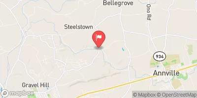
Quittapahilla Creek Near Bellegrove, Pa Realtime Data
QUITTAPAHILLA CREEK NEAR BELLEGROVE, PA
Realtime Data • Report • Conditions
55
Discharge (cfs)
3.3
Gauge Height (ft)
USGS 01573160
Streamflow discharge was last observed at 55 cfs, and a gauge height of 3.31 feet.
With the
% decrease since yesterday,
the streamflow average over the past 10 days is 71 .
Weather today, Tomorrow,
The creek is fed by several smaller tributaries and is home to diverse aquatic life. The flow of the creek is affected by seasonal trends, with higher levels in the spring due to snowmelt and rainfall. There are several dams along the creek, including the Grubb Mill Dam which was removed in 2019 to improve fish passage. Interestingly, the Quittapahilla Creek was named by the local indigenous people and means "place of the wildcat."
October 9, 2026
| Elevation | 362.0 ft |
| Last Updated | |
| Gage height, ft | 3.31 ft |
| Stream water level elevation above NAVD 1988, in ft | 359.61 ft |
| Streamflow, ft³/s | 55.3 ft3/s |
| Percent of Normal | 67% |
| Year Over Year Average | 83 cfs |
| 24hr Flow Prediction | cfs |
| Maximum Recorded | 1,840 cfs |
| Geolocation | 40.34, -76.56 |
 Continue with Snoflo Premium