

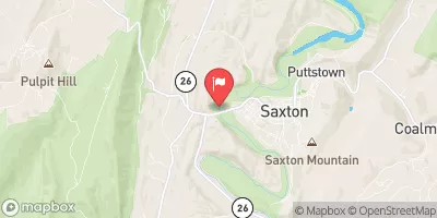
Raystown Branch Juniata River At Saxton, Pa Realtime Data
RAYSTOWN BRANCH JUNIATA RIVER AT SAXTON, PA
Realtime Data • Report • Conditions
279
Discharge (cfs)
1.7
Gauge Height (ft)
USGS 01562000
Streamflow discharge was last observed at 279 cfs, and a gauge height of 1.72 feet.
With the
% decrease since yesterday,
the streamflow average over the past 10 days is 431 .
Weather today, Tomorrow,
The river is fed by various sources including runoff, springs, and tributaries such as the Dry Run, Bob's Creek, and the Little Juniata River. The Raystown Dam is located downstream and can affect the water levels. The river flow is affected by seasonal changes, with higher flows during the spring and lower flows during the summer. Interestingly, the river is also home to a variety of fish, including smallmouth bass, rock bass, and channel catfish, making it a popular spot for fishing.
October 23, 2026
| Elevation | 799.0 ft |
| Last Updated | |
| Gage height, ft | 1.72 ft |
| Stream water level elevation above NAVD 1988, in ft | 796.89 ft |
| Streamflow, ft³/s | 279.0 ft3/s |
| Percent of Normal | 174% |
| Year Over Year Average | 160 cfs |
| 24hr Flow Prediction | cfs |
| Maximum Recorded | 29,700 cfs |
| Geolocation | 40.22, -78.27 |
 Continue with Snoflo Premium