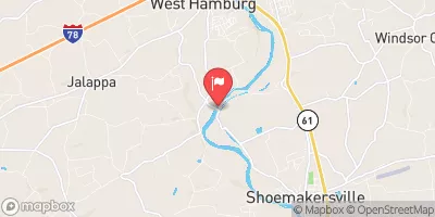
Streamflow discharge was last observed at 160 cfs, and a gauge height of 4.88 feet.
With the
% decrease since yesterday,
the streamflow average over the past 10 days is 166 .
Weather today, Tomorrow,
The river is fed by several smaller tributaries, including the Tulpehocken Creek and the Maiden Creek. There are no major dams along the river at this location. The flow of the river varies seasonally, with higher flows occurring in the spring due to snowmelt and rain. Fun fact: In the late 1800s, the Schuylkill River was known as one of the most polluted rivers in the country due to industrial and domestic waste. Today, efforts have been made to clean up the river and it is now a popular destination for recreational activities such as fishing and kayaking.
| Elevation | 315.0 ft |
| Last Updated | |
| Gage height, ft | 4.88 ft |
| Streamflow, ft³/s | 160.0 ft3/s |
| Precipitation, total, in | 0.0 in |
| Stream water level elevation above NAVD 1988, in ft | 314.82 ft |
| Percent of Normal | 53% |
| Year Over Year Average | 304 cfs |
| 24hr Flow Prediction | cfs |
| Maximum Recorded | 26,000 cfs |