

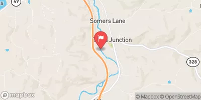
Tioga River At Tioga Junction, Pa Realtime Data
TIOGA RIVER AT TIOGA JUNCTION, PA
Realtime Data • Report • Conditions
90
Discharge (cfs)
6.8
Gauge Height (ft)
Streamflow discharge was last observed at 90 cfs, and a gauge height of 6.80 feet.
With the
% decrease since yesterday,
the streamflow average over the past 10 days is 101 .
Weather today, Tomorrow,
The river flows through agricultural and forested areas, and its flow is affected by precipitation and snowmelt. The Tioga River's flow is frequently monitored by the USGS, who provide important data to water managers and researchers. The river is also influenced by several dams, including the Cowanesque Dam and the Tioga-Hammond Dam. Seasonally, the river experiences high flows in the spring due to snowmelt and runoff, while low flows occur in the summer and fall. Interestingly, the Tioga River was named after the Iroquois word for "forks of the stream," referring to the confluence of its East and West branches.
October 23, 2026
| Elevation | 997.0 ft |
| Last Updated | |
| Gage height, ft | 6.8 ft |
| Stream water level elevation above NAVD 1988, in ft | 994.42 ft |
| Streamflow, ft³/s | 89.9 ft3/s |
| Specific conductance, water, unfiltered, microsiemens per centimeter at 25°C | 233.0 uS/cm @25C |
| pH, water, unfiltered, field, standard units | 7.6 std units |
| Temperature, water, °C | 13.6 deg C |
| Percent of Normal | 84% |
| Year Over Year Average | 108 cfs |
| 24hr Flow Prediction | cfs |
| Maximum Recorded | 5,560 cfs |
 Continue with Snoflo Premium