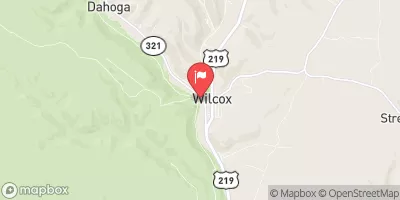
Streamflow discharge was last observed at 67 cfs, and a gauge height of 1.56 feet.
With the
% decrease since yesterday,
the streamflow average over the past 10 days is 51 .
Weather today, Tomorrow,
The river is primarily fed by groundwater, and its flow is influenced by precipitation and snowmelt. There are no major dams or tributaries in the immediate vicinity of the streamgauge. The river experiences seasonal variations in flow, with higher flows typically occurring in the spring due to snowmelt and runoff. Interesting facts about the hydrology of the West Branch Clarion River include its designation as a Wild and Scenic River, which recognizes its exceptional ecological, recreational, and scenic values.
| Elevation | 1,506.0 ft |
| Last Updated | |
| Gage height, ft | 1.56 ft |
| Stream water level elevation above NAVD 1988, in ft | 1502.56 ft |
| Streamflow, ft³/s | 66.8 ft3/s |
| Temperature, water, °C | 18.4 deg C |
| Precipitation, total, in | 0.0 in |
| Percent of Normal | 252% |
| Year Over Year Average | 27 cfs |
| 24hr Flow Prediction | cfs |
| Maximum Recorded | 2,130 cfs |
| Geolocation | 41.58, -78.69 |