

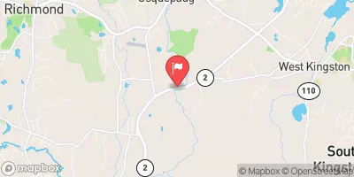
Usquepaug River Near Usquepaug, Ri Realtime Data
USQUEPAUG RIVER NEAR USQUEPAUG, RI
Realtime Data • Report • Conditions
78
Discharge (cfs)
3.8
Gauge Height (ft)
Streamflow discharge was last observed at 78 cfs, and a gauge height of 3.80 feet.
With the
% decrease since yesterday,
the streamflow average over the past 10 days is 102 .
Weather today, Tomorrow,
The river is primarily fed by surface runoff and precipitation, and there are no major tributaries or dams along its length. The river experiences seasonal fluctuations in flow, with higher flows during the winter and spring months and lower flows during the summer and fall. Interesting facts about the hydrology of the Usquepaug River include its historical use as a source of water power for mills and factories, and its designation as a "Class B" waterbody under Rhode Island water quality regulations, indicating moderate impairment from pollution.
October 23, 2026
| Elevation | 98.0 ft |
| Last Updated | |
| Gage height, ft | 3.8 ft |
| Streamflow, ft³/s | 77.5 ft3/s |
| Percent of Normal | 281% |
| Year Over Year Average | 28 cfs |
| 24hr Flow Prediction | cfs |
| Maximum Recorded | 696 cfs |
 Continue with Snoflo Premium