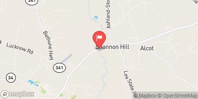
Streamflow discharge was last observed at 120 cfs, and a gauge height of 4.45 feet.
With the
% decrease since yesterday,
the streamflow average over the past 10 days is 164 .
Weather today, Tomorrow,
The river is fed by numerous small tributaries and is an important source of drinking water for the surrounding communities. The hydrology of the river is characterized by seasonal fluctuations, with higher flows occurring in the winter and early spring due to increased rainfall. There are several dams along the river, including the Lynchs Lake Dam and the Lake Ashwood Dam. Interestingly, the Lynches River is named after Thomas Lynch Jr., a signatory of the Declaration of Independence who owned land along the river in the 18th century.
| Elevation | 162.0 ft |
| Last Updated | |
| Gage height, ft | 4.45 ft |
| Streamflow, ft³/s | 120.0 ft3/s |
| Precipitation, total, in | 0.0 in |
| Stream water level elevation above NAVD 1988, in ft | 159.36 ft |
| Percent of Normal | 57% |
| Year Over Year Average | 211 cfs |
| 24hr Flow Prediction | cfs |
| Maximum Recorded | 10,300 cfs |