

Pacolet River Below Lake Blalock Near Cowpens, Sc Realtime Data
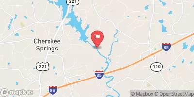
PACOLET RIVER BELOW LAKE BLALOCK NEAR COWPENS, SC
Realtime Data • Report • Conditions
3,970
Discharge (cfs)
7.3
Gauge Height (ft)
USGS 021556525
Streamflow discharge was last observed at 3,970 cfs, and a gauge height of 7.29 feet.
With the
% decrease since yesterday,
the streamflow average over the past 10 days is 1,098 .
Weather today, Tomorrow,
The river is primarily fed by rainwater and contributes to the larger Spartanburg watershed. There are no significant tributaries or dams affecting this section of the river. Seasonal trends show higher flow levels during the wetter months of the year. Interestingly, there is a history of gold mining in the area dating back to the early 1800s, which may have impacted the river's hydrology. Today, the Pacolet River is a popular spot for fishing and kayaking.
October 12, 2026
| Elevation | 697.0 ft |
| Last Updated | |
| Gage height, ft | 7.29 ft |
| Streamflow, ft³/s | 3970.0 ft3/s |
| Stream water level elevation above NAVD 1988, in ft | 652.06 ft |
| Percent of Normal | 2,111% |
| Year Over Year Average | 188 cfs |
| 24hr Flow Prediction | cfs |
| Maximum Recorded | 11,000 cfs |
 Continue with Snoflo Premium