

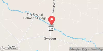
South Fork Edisto River Near Denmark, S.C. Realtime Data
SOUTH FORK EDISTO RIVER NEAR DENMARK, S.C.
Realtime Data • Report • Conditions
315
Discharge (cfs)
5.0
Gauge Height (ft)
Streamflow discharge was last observed at 315 cfs, and a gauge height of 4.99 feet.
With the
% decrease since yesterday,
the streamflow average over the past 10 days is 264 .
Weather today, Tomorrow,
The river's constituents primarily come from rainfall and runoff. The streamgauge is located near the confluence of Four Hole Swamp, which is a significant tributary of the South Fork Edisto River. The river's flow is seasonal, with higher flows in the winter and spring due to increased rainfall and snowmelt. Interestingly, the South Fork Edisto River is home to several rare and endangered species, such as the Carolina Heelsplitter mussel and the American eel. Overall, understanding the flow and hydrology of the South Fork Edisto River is essential for managing and protecting its important ecological resources.
October 15, 2026
| Elevation | 161.0 ft |
| Last Updated | |
| Gage height, ft | 4.99 ft |
| Streamflow, ft³/s | 315.0 ft3/s |
| Precipitation, total, in | 0.0 in |
| Stream water level elevation above NAVD 1988, in ft | 159.63 ft |
| Percent of Normal | 68% |
| Year Over Year Average | 467 cfs |
| 24hr Flow Prediction | cfs |
| Maximum Recorded | 4,140 cfs |
| Geolocation | 33.39, -81.13 |
 Continue with Snoflo Premium