

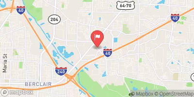
Fletcher Creek At Sycamore View Road At Memphis Realtime Data
FLETCHER CREEK AT SYCAMORE VIEW ROAD AT MEMPHIS
Realtime Data • Report • Conditions
1
Discharge (cfs)
1.9
Gauge Height (ft)
Streamflow discharge was last observed at 0 cfs, and a gauge height of 1.85 feet.
With the
% decrease since yesterday,
the streamflow average over the past 10 days is 1 .
Weather today, Tomorrow,
The stream is fed by several small tributaries and is affected by seasonal trends, with higher flows in the winter and spring months due to increased rainfall. There are no significant dams in the immediate area, but the creek does pass through a park before reaching the gauge location. Interesting facts about the hydrology of Fletcher Creek include its historical significance as a source of water for early settlers in the area and its current use as a habitat for various aquatic species. Overall, the streamgauge provides important data for tracking water levels in the creek and monitoring potential flood risks.
October 5, 2026
| Elevation | 256.0 ft |
| Last Updated | |
| Gage height, ft | 1.85 ft |
| Streamflow, ft³/s | 0.23 ft3/s |
| Precipitation, total, in | 0.0 in |
| Percent of Normal | 100% |
| Year Over Year Average | 1 cfs |
| 24hr Flow Prediction | cfs |
| Maximum Recorded | 6,370 cfs |
| Geolocation | 35.17, -89.87 |
 Continue with Snoflo Premium