

Salt Lick Creek Below Red Boiling Springs, Tn Realtime Data
SALT LICK CREEK BELOW RED BOILING SPRINGS, TN
Realtime Data • Report • Conditions
Discharge (cfs)
3.2
Gauge Height (ft)
Streamflow discharge was last observed at 27 cfs, and a gauge height of 3.20 feet.
With the
% decrease since yesterday,
the streamflow average over the past 10 days is 57 .
Weather today, Tomorrow,
The stream is fed by several small tributaries and is a major tributary of the Cumberland River. There are no dams located on the stream. Seasonally, the creek experiences high flows during the winter and spring months, while low flows are common in the summer and fall. Interestingly, the creek gets its name from the natural salt licks found in the area, which were once used by animals for their mineral content. The hydrology of Salt Lick Creek is important for understanding the overall health and function of the Cumberland River watershed.
October 22, 2026
| Elevation | 739.0 ft |
| Last Updated | |
| Gauge Height | 3.20 ft |
| Observed Discharge | cfs |
| Percent of Normal | % |
| Year Over Year Average | cfs |
| 24hr Flow Prediction | cfs |
| Maximum Recorded | cfs |
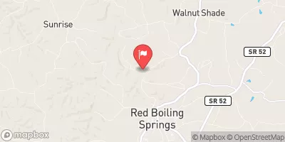
| Geolocation | 36.55, -85.86 |
 Continue with Snoflo Premium