

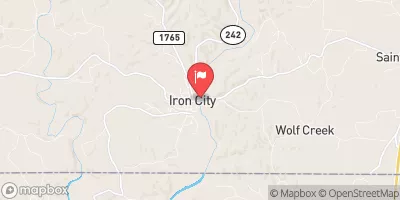
Shoal Creek At Iron City, Tn Realtime Data
SHOAL CREEK AT IRON CITY, TN
Realtime Data • Report • Conditions
94
Discharge (cfs)
1.7
Gauge Height (ft)
Streamflow discharge was last observed at 94 cfs, and a gauge height of 1.73 feet.
With the
% decrease since yesterday,
the streamflow average over the past 10 days is 92 .
Weather today, Tomorrow,
The main sources of flow are precipitation and groundwater, and the creek is relatively small with no significant dams or tributaries. Seasonally, flow tends to be highest in winter and lowest in summer. Interestingly, the Shoal Creek watershed is home to several rare and endangered species, including the Tennessee cave salamander and the pale lilliput. Additionally, the creek has been tested for pollutants, with phosphorus and nitrogen levels found to be elevated in some areas due to agricultural runoff. Overall, the Shoal Creek at Iron City provides important data for monitoring local water resources and supporting conservation efforts.
October 6, 2026
| Elevation | 562.0 ft |
| Last Updated | |
| Gage height, ft | 1.73 ft |
| Precipitation, total, in | 0.0 in |
| Streamflow, ft³/s | 94.0 ft3/s |
| Percent of Normal | 59% |
| Year Over Year Average | 161 cfs |
| 24hr Flow Prediction | cfs |
| Maximum Recorded | 23,000 cfs |
| Geolocation | 35.02, -87.58 |
 Continue with Snoflo Premium