 Get More With Premium


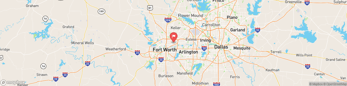
BIG FOSSIL CK AT HALTOM CITY
USGS 08048800
FLOOD WATCH
* WHAT...Flooding caused by excessive rainfall continues to be possible. * WHERE...Portions of North and Central Texas, mainly along and near the I-35 corridor. * WHEN...Through Friday evening. * IMPACTS...Excessive runoff may result in flooding of rivers, creeks, streams, and other low-lying and flood-prone locations. Low-water crossings may be flooded. * ADDITIONAL DETAILS... - Isolated additional rainfall totals of 2 to 4 inches are possible through Friday afternoon. - weather.gov/safety/flood

Today, A chance of showers and thunderstorms, then showers likely and possibly a thunderstorm after 4am. Mostly cloudy, with a low around 72. Calm wind. Chance of precipitation is 60%. New rainfall amounts between a tenth and quarter of an inch, except higher amounts possible in thunderstorms.
Tomorrow, A chance of showers and thunderstorms, then showers likely and possibly a thunderstorm after 4am. Mostly cloudy, with a low around 72. Calm wind. Chance of precipitation is 60%. New rainfall amounts between a tenth and quarter of an inch, except higher amounts possible in thunderstorms.
5-Day Forecast
Long Term Forecast
16-Day Forecast
