

Deep Ck At Moran, Tx Realtime Data
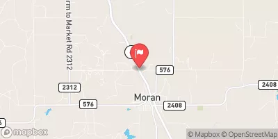
DEEP CK AT MORAN, TX
Realtime Data • Report • Conditions
0
Discharge (cfs)
2.9
Gauge Height (ft)
Streamflow discharge was last observed at 0 cfs, and a gauge height of 2.91 feet.
With the
% decrease since yesterday,
the streamflow average over the past 10 days is 0 .
Weather today, Tomorrow,
The main flow providers and constituents are precipitation and runoff, with potential tributaries including the Clear Fork Brazos River and Lost Creek. Seasonal trends show high flow during spring and summer, while low flow occurs during the fall and winter months. Interestingly, the gauge has experienced flooding due to high flow events caused by tropical storms and hurricanes, such as Harvey in 2017. There are no notable dams directly impacting the gauge's readings, providing valuable information for researchers and water resource managers.
July 13, 2026
| Elevation | 1,293.0 ft |
| Last Updated | |
| Gage height, ft | 2.91 ft |
| Streamflow, ft³/s | 0.0 ft3/s |
| Percent of Normal | 0% |
| Year Over Year Average | 2 cfs |
| 24hr Flow Prediction | cfs |
| Maximum Recorded | 10,100 cfs |
| Geolocation | 32.56, -99.17 |
 Continue with Snoflo Premium