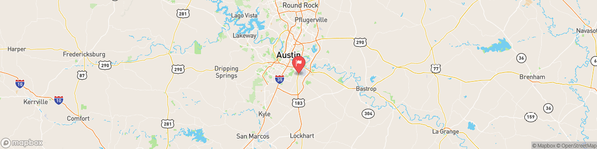
ONION CK AT US HWY 183
USGS 08159000
FLOOD WATCH
* WHAT...Flooding and flash flooding caused by excessive rainfall continues to be possible. * WHERE...A portion of south central Texas, including the following counties, Bandera, Bexar, Blanco, Burnet, Comal, Dimmit, Edwards, Frio, Gillespie, Hays, Kendall, Kerr, Kinney, Llano, Maverick, Medina, Real, Travis, Uvalde, Val Verde, Williamson and Zavala. * WHEN...Through Thursday evening. * IMPACTS...There is a potential for life threatening flooding somewhere in the watch area. Considerable to locally catastrophic flash flooding impacts are likely ...
Today, A chance of showers and thunderstorms, then showers likely and possibly a thunderstorm after 4am. Mostly cloudy, with a low around 73. Calm wind becoming east around 5 mph. Chance of precipitation is 60%. New rainfall amounts between a tenth and quarter of an inch, except higher amounts possible in thunderstorms.
Tomorrow, A chance of showers and thunderstorms, then showers likely and possibly a thunderstorm after 4am. Mostly cloudy, with a low around 73. Calm wind becoming east around 5 mph. Chance of precipitation is 60%. New rainfall amounts between a tenth and quarter of an inch, except higher amounts possible in thunderstorms.
5-Day Forecast
Long Term Forecast
16-Day Forecast
Get More With Premium