

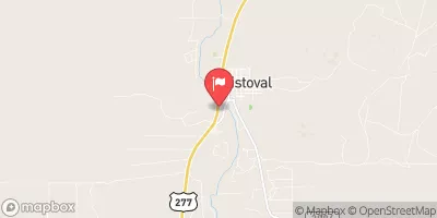
S Concho Rv At Christoval, Tx Realtime Data
S CONCHO RV AT CHRISTOVAL, TX
Realtime Data • Report • Conditions
4
Discharge (cfs)
1.9
Gauge Height (ft)
USGS 08128000
Streamflow discharge was last observed at 4 cfs, and a gauge height of 1.87 feet.
With the
% decrease since yesterday,
the streamflow average over the past 10 days is 4 .
Weather today, Tomorrow,
The primary constituents of the river are natural runoff and rainfall, but there may also be contributions from tributaries and dams. The river experiences seasonal trends, with higher flows typically occurring in the spring due to increased rainfall and snowmelt. Interestingly, the S Concho River is home to several endangered species of fish including the Concho water snake and the Pecos sunflower. Overall, monitoring the flow of the S Concho RV is important for understanding the health and sustainability of the river's ecosystem.
October 19, 2026
| Elevation | 2,022.0 ft |
| Last Updated | |
| Gage height, ft | 1.87 ft |
| Streamflow, ft³/s | 4.26 ft3/s |
| Percent of Normal | 40% |
| Year Over Year Average | 11 cfs |
| 24hr Flow Prediction | cfs |
| Maximum Recorded | 19,900 cfs |
| Geolocation | 31.19, -100.50 |
 Continue with Snoflo Premium