

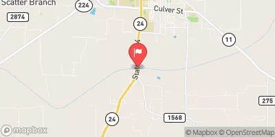
S Sulphur At Commerce, Tx Realtime Data
S SULPHUR AT COMMERCE, TX
Realtime Data • Report • Conditions
Discharge (cfs)
1.9
Gauge Height (ft)
Streamflow discharge was last observed at 0 cfs, and a gauge height of 1.91 feet.
With the
% decrease since yesterday,
the streamflow average over the past 10 days is 0 .
Weather today, Tomorrow,
The river is primarily fed by rainfall and is known to be variable in its flow depending on the season. The main tributaries feeding into the Sulphur River are the North and South Sulphur Rivers. The streamgauge also provides information on the presence of pollutants, such as nitrogen and phosphorus, which can have a negative impact on water quality. There are no major dams on the Sulphur River, allowing for natural fluctuations in flow. Interestingly, the Sulphur River is home to a diverse range of fish species, including catfish, bass, and trout.
October 23, 2026
| Elevation | 480.0 ft |
| Last Updated | |
| Gauge Height | 1.91 ft |
| Observed Discharge | cfs |
| Percent of Normal | % |
| Year Over Year Average | cfs |
| 24hr Flow Prediction | cfs |
| Maximum Recorded | cfs |
| Geolocation | 33.21, -95.91 |
 Continue with Snoflo Premium