

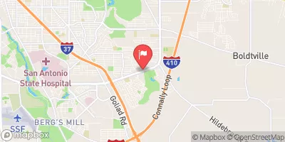
Salado Ck At Loop 13 At San Antonio, Tx Realtime Data
SALADO CK AT LOOP 13 AT SAN ANTONIO, TX
Realtime Data • Report • Conditions
11
Discharge (cfs)
5.2
Gauge Height (ft)
USGS 08178800
Streamflow discharge was last observed at 11 cfs, and a gauge height of 5.18 feet.
With the
% decrease since yesterday,
the streamflow average over the past 10 days is 15 .
Weather today, Tomorrow,
The primary constituent of the creek is stormwater runoff, although it may also receive water from the San Antonio River. There are no major tributaries or dams that specifically impact the flow at this location. Seasonal trends show that the flow is highest during periods of heavy rain in the summer months, and lowest during dry winter months. Interestingly, the Salado Creek was once a major source of drinking water for the city of San Antonio, but due to pollution and the growth of the city, it is now primarily used for recreation.
October 13, 2026
| Elevation | 559.0 ft |
| Last Updated | |
| Gage height, ft | 5.18 ft |
| Precipitation, total, in | 0.0 in |
| Streamflow, ft³/s | 10.5 ft3/s |
| Percent of Normal | 169% |
| Year Over Year Average | 6 cfs |
| 24hr Flow Prediction | cfs |
| Maximum Recorded | 6,080 cfs |
| Geolocation | 29.36, -98.41 |
 Continue with Snoflo Premium