

San Antonio Rv At Goliad, Tx Realtime Data
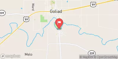
SAN ANTONIO RV AT GOLIAD, TX
Realtime Data • Report • Conditions
206
Discharge (cfs)
3.7
Gauge Height (ft)
Streamflow discharge was last observed at 206 cfs, and a gauge height of 3.72 feet.
With the
% decrease since yesterday,
the streamflow average over the past 10 days is 234 .
Weather today, Tomorrow,
The river is also important for agriculture and recreation. The gauge records flow data throughout the year, with the highest flows typically occurring in the spring due to increased precipitation and spring runoff. There are several tributaries that contribute to the San Antonio River, including the Medina River and the Guadalupe River. The Riverwalk, a popular tourist attraction in San Antonio, is fed by the San Antonio River. The San Antonio River Authority manages the river's water supply and conducts conservation and restoration efforts to maintain the river's ecological health.
October 19, 2026
| Elevation | 119.0 ft |
| Last Updated | |
| Gage height, ft | 3.72 ft |
| Nitrate plus nitrite, water, in situ, mg/L as N | 13.1 mg/l as N |
| Streamflow, ft³/s | 206.0 ft3/s |
| Specific conductance, water, unfiltered, microsiemens per centimeter at 25°C | 1240.0 uS/cm @25C |
| Dissolved oxygen, water, unfiltered, mg/L | 8.3 mg/l |
| Turbidity, water, unfiltered, monochrome near infra-red LED light, 780-900 nm, detection angle 90 ±2.5°, formazin nephelometric units (FNU) | 23.2 FNU |
| pH, water, unfiltered, field, standard units | 8.1 std units |
| Temperature, water, °C | 20.5 deg C |
| Precipitation, total, in | 0.0 in |
| Percent of Normal | 95% |
| Year Over Year Average | 218 cfs |
| 24hr Flow Prediction | cfs |
| Maximum Recorded | 17,600 cfs |
| Geolocation | 28.65, -97.38 |
 Continue with Snoflo Premium