 Get More With Premium


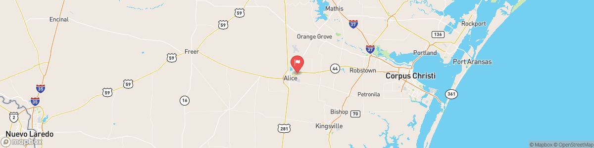
SAN FERNANDO CK AT ALICE
USGS 08211900
FLOOD WATCH
* WHAT...Flooding caused by excessive rainfall continues to be possible. * WHERE...A portion of south Texas, including the following areas, Aransas Islands, Bee, Coastal Aransas, Coastal Kleberg, Coastal Nueces, Coastal Refugio, Coastal San Patricio, Duval, Goliad, Inland Kleberg, Inland Nueces, Inland Refugio, Inland San Patricio, Jim Wells, Kleberg Islands, La Salle, Live Oak, McMullen, Nueces Islands and Webb. * WHEN...Until noon CST today. * IMPACTS...Excessive runoff may result in flooding of rivers, creeks, streams, and ...

Today, Showers and possibly a thunderstorm. Low around 61. Northeast wind around 14 mph, with gusts as high as 23 mph. Chance of precipitation is 100%. New rainfall amounts between a half and three quarters of an inch possible.
Tomorrow, Showers and possibly a thunderstorm. Low around 61. Northeast wind around 14 mph, with gusts as high as 23 mph. Chance of precipitation is 100%. New rainfall amounts between a half and three quarters of an inch possible.
5-Day Forecast
Long Term Forecast
16-Day Forecast