

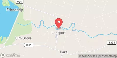
San Gabriel Rv At Laneport, Tx Realtime Data
SAN GABRIEL RV AT LANEPORT, TX
Realtime Data • Report • Conditions
5
Discharge (cfs)
4.9
Gauge Height (ft)
USGS 08105700
Streamflow discharge was last observed at 5 cfs, and a gauge height of 4.91 feet.
With the
% decrease since yesterday,
the streamflow average over the past 10 days is 5 .
Weather today, Tomorrow,
The main flow contributors are precipitation and surface runoff, and there are no significant tributaries or dams in the immediate area. Seasonal trends show increased flow during the rainy season, typically from December to May. Interestingly, the San Gabriel River was a significant source of gravel and sand for construction projects in the mid-20th century. Today, the hydrology of the river is important for understanding the impact of development and climate change on water resources in the region.
October 14, 2026
| Elevation | 451.0 ft |
| Last Updated | |
| Gage height, ft | 4.91 ft |
| Streamflow, ft³/s | 5.18 ft3/s |
| Percent of Normal | 174% |
| Year Over Year Average | 3 cfs |
| 24hr Flow Prediction | cfs |
| Maximum Recorded | 3,240 cfs |
| Geolocation | 30.69, -97.28 |
 Continue with Snoflo Premium