

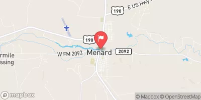
San Saba Rv At Menard, Tx Realtime Data
SAN SABA RV AT MENARD, TX
Realtime Data • Report • Conditions
23
Discharge (cfs)
2.8
Gauge Height (ft)
USGS 08144500
Streamflow discharge was last observed at 23 cfs, and a gauge height of 2.77 feet.
With the
% decrease since yesterday,
the streamflow average over the past 10 days is 25 .
Weather today, Tomorrow,
There are no significant tributaries or dams that significantly impact the streamgage readings, but seasonal trends in flow do exist. The river experiences high flows in the spring and summer, but can become dry during periods of drought. The hydrology of the San Saba River is unique because it is one of the few remaining wild and scenic rivers in Texas. The area surrounding the streamgage is also home to a variety of wildlife, including the endangered golden-cheeked warbler.
October 14, 2026
| Elevation | 1,867.0 ft |
| Last Updated | |
| Gage height, ft | 2.77 ft |
| Streamflow, ft³/s | 23.1 ft3/s |
| Percent of Normal | 101% |
| Year Over Year Average | 23 cfs |
| 24hr Flow Prediction | cfs |
| Maximum Recorded | 23,100 cfs |
| Geolocation | 30.92, -99.79 |
 Continue with Snoflo Premium