 Get More With Premium


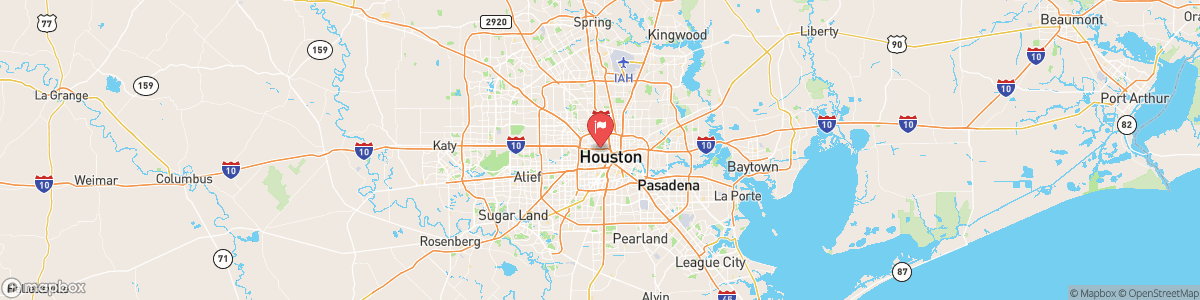
WHITEOAK BAYOU AT HOUSTON
USGS 08074500
AIR QUALITY ALERT
AQAHGX The Texas Commission on Environmental Quality (TCEQ) has issued an Ozone Action Day for the Houston, Galveston, and Brazoria area for Friday, October 23, 2026. Atmospheric conditions are expected to be favorable for producing high levels of ozone pollution in the Houston, Galveston, and surrounding areas on Friday. You can help prevent ozone pollution by sharing a ride, walking, riding a bicycle, taking your lunch to work, avoiding drive through lanes, conserving energy and ...

Today, Mostly clear, with a low around 59. Calm wind.
Tomorrow, Mostly clear, with a low around 59. Calm wind.
5-Day Forecast
Long Term Forecast
16-Day Forecast
