

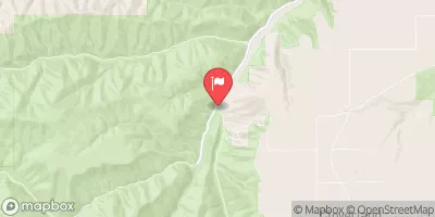
Asotin Creek Below Confluence Near Asotin, Wa Realtime Data
ASOTIN CREEK BELOW CONFLUENCE NEAR ASOTIN, WA
Realtime Data • Report • Conditions
54
Discharge (cfs)
1.8
Gauge Height (ft)
USGS 13334450
Streamflow discharge was last observed at 54 cfs, and a gauge height of 1.80 feet.
With the
% decrease since yesterday,
the streamflow average over the past 10 days is 59 .
Weather today, Tomorrow,
The primary flow provider is Asotin Creek, which is fed by several tributaries, including Rattlesnake, George, and Peterson Creeks. There are no significant dams on the mainstem of the creek, but there are several small diversion dams that have been installed to support irrigation. The flow in the creek is typically highest in the spring and lowest in the late summer and fall. Interestingly, Asotin Creek is home to several species of fish, including threatened Chinook salmon and steelhead.
October 26, 2026
| Elevation | 1,830.0 ft |
| Last Updated | |
| Gage height, feet | 1.8 ft |
| Streamflow, ft3/s | 53.5 ft3/s |
| Percent of Normal | 132% |
| Year Over Year Average | 41 cfs |
| 24hr Flow Prediction | cfs |
| Maximum Recorded | 1,030 cfs |
| Geolocation | 46.27, -117.29 |
 Continue with Snoflo Premium