

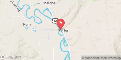
Chehalis River At Porter, Wa Realtime Data
CHEHALIS RIVER AT PORTER, WA
Realtime Data • Report • Conditions
343
Discharge (cfs)
30.6
Gauge Height (ft)
Streamflow discharge was last observed at 343 cfs, and a gauge height of 30.56 feet.
With the
% decrease since yesterday,
the streamflow average over the past 10 days is 348 .
Weather today, Tomorrow,
The river's flow is primarily sourced from precipitation, snowmelt, and groundwater. There are several major tributaries that contribute to the river's flow, including the Newaukum, Skookumchuck, and Satsop Rivers. There are no major dams on the Chehalis River at Porter, but there are several smaller ones that can impact flow. Seasonal trends show the highest flows typically occur in the winter and spring due to increased precipitation and snowmelt. Interestingly, the Chehalis River is known for its distinctive meandering pattern, which has resulted in flooding and erosion issues in the past.
October 22, 2026
| Elevation | 28.0 ft |
| Last Updated | |
| Turbidity, water, unfiltered, monochrome near infra-red LED light, 780-900 nm, detection angle 90 ±2.5°, formazin nephelometric units (FNU) | 1.7 FNU |
| Gage height, ft | 30.56 ft |
| Streamflow, ft³/s | 343.0 ft3/s |
| Percent of Normal | 41% |
| Year Over Year Average | 853 cfs |
| 24hr Flow Prediction | cfs |
| Maximum Recorded | 55,100 cfs |
 Continue with Snoflo Premium