

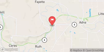
Chehalis River Near Adna, Wa Realtime Data
CHEHALIS RIVER NEAR ADNA, WA
Realtime Data • Report • Conditions
60
Discharge (cfs)
192.8
Gauge Height (ft)
USGS 12021800
Streamflow discharge was last observed at 60 cfs, and a gauge height of 192.84 feet.
With the
% decrease since yesterday,
the streamflow average over the past 10 days is 58 .
Weather today, Tomorrow,
The river is also affected by several dams upstream, including the Mayfield Dam and the Mossyrock Dam. The hydrology of the Chehalis River is heavily influenced by seasonal trends, with peak flows occurring during the winter months and low flows during the summer. Interestingly, the Chehalis River has been known to experience severe flooding events, with the most recent occurring in 2007. Overall, the Chehalis River is an important water resource for the surrounding communities and plays a critical role in the regional ecosystem.
October 22, 2026
| Elevation | 195.0 ft |
| Last Updated | |
| Gage height, ft | 192.84 ft |
| Stream water level elevation above NGVD 1929, in ft | 189.44 ft |
| Streamflow, ft³/s | 59.8 ft3/s |
| Percent of Normal | 18% |
| Year Over Year Average | 335 cfs |
| 24hr Flow Prediction | cfs |
| Maximum Recorded | 33,600 cfs |
 Continue with Snoflo Premium