

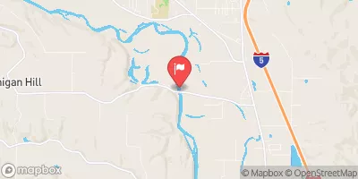
Chehalis River Near Grand Mound, Wa Realtime Data
CHEHALIS RIVER NEAR GRAND MOUND, WA
Realtime Data • Report • Conditions
243
Discharge (cfs)
128.9
Gauge Height (ft)
USGS 12027500
Streamflow discharge was last observed at 243 cfs, and a gauge height of 128.85 feet.
With the
% decrease since yesterday,
the streamflow average over the past 10 days is 246 .
Weather today, Tomorrow,
The river is fed by several smaller tributaries and is affected by two major dams, Mayfield and Chehalis. Seasonally, the river exhibits a predictable pattern of higher flows in the fall and winter months due to increased precipitation. Interestingly, the Chehalis River is known for its significant annual flooding, with the most severe recorded in 2007. This underscores the importance of monitoring and managing this river system for the safety of local communities and ecosystems.
October 22, 2026
| Elevation | 134.0 ft |
| Last Updated | |
| Gage height, ft | 128.85 ft |
| Streamflow, ft³/s | 243.0 ft3/s |
| Percent of Normal | 34% |
| Year Over Year Average | 725 cfs |
| 24hr Flow Prediction | cfs |
| Maximum Recorded | 44,300 cfs |
 Continue with Snoflo Premium