

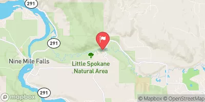
Little Spokane River Near Dartford, Wa Realtime Data
LITTLE SPOKANE RIVER NEAR DARTFORD, WA
Realtime Data • Report • Conditions
356
Discharge (cfs)
5.0
Gauge Height (ft)
USGS 12431500
Streamflow discharge was last observed at 356 cfs, and a gauge height of 5.01 feet.
With the
% decrease since yesterday,
the streamflow average over the past 10 days is 351 .
Weather today, Tomorrow,
Its constituents come from the Little Spokane River watershed, which has several tributaries, including Peone Creek and Deadman Creek. The Little Spokane River is not dammed, but there are several potential dam sites in the watershed. The river experiences seasonal trends, with higher flows in the spring due to snowmelt and lower flows in the summer and fall. Interestingly, the Little Spokane River has been designated as a Wild and Scenic River, which means it is protected for its natural and recreational values.
October 26, 2026
| Elevation | 1,546.0 ft |
| Last Updated | |
| Gage height, ft | 5.01 ft |
| Streamflow, ft³/s | 356.0 ft3/s |
| Percent of Normal | 88% |
| Year Over Year Average | 409 cfs |
| 24hr Flow Prediction | cfs |
| Maximum Recorded | 1,900 cfs |
 Continue with Snoflo Premium