

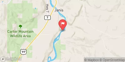
Okanogan River Near Tonasket, Wa Realtime Data
OKANOGAN RIVER NEAR TONASKET, WA
Realtime Data • Report • Conditions
488
Discharge (cfs)
4.0
Gauge Height (ft)
Streamflow discharge was last observed at 488 cfs, and a gauge height of 3.95 feet.
With the
% decrease since yesterday,
the streamflow average over the past 10 days is 480 .
Weather today, Tomorrow,
The river is a tributary of the Columbia River and flows through northern Washington State. Important constituents of the flow include snowmelt and precipitation. There are several dams along the river, including the Okanogan Dam and Zosel Dam, which can affect the flow. Seasonal trends show a peak in flow during the spring and early summer due to snowmelt, and lower flows during the fall and winter. The hydrology of the Okanogan River is interesting because it is an important salmon spawning river, and also has a unique geologic history that has resulted in unique rock formations along the river banks.
October 15, 2026
| Elevation | 851.0 ft |
| Last Updated | |
| Gage height, ft | 3.95 ft |
| Streamflow, ft³/s | 488.0 ft3/s |
| Temperature, water, degC | 11.6 deg C |
| Percent of Normal | 51% |
| Year Over Year Average | 959 cfs |
| 24hr Flow Prediction | cfs |
| Maximum Recorded | 31,800 cfs |
 Continue with Snoflo Premium