

Rock Creek At Highway 516 Near Ravensdale, Wa Realtime Data
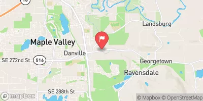
ROCK CREEK AT HIGHWAY 516 NEAR RAVENSDALE, WA
Realtime Data • Report • Conditions
3
Discharge (cfs)
0.6
Gauge Height (ft)
USGS 12118400
Streamflow discharge was last observed at 3 cfs, and a gauge height of 0.56 feet.
With the
% decrease since yesterday,
the streamflow average over the past 10 days is 3 .
Weather today, Tomorrow,
There are no major tributaries or dams in the immediate vicinity of the streamgage. The flow of the creek tends to be highest during the spring months due to increased snowmelt, and lowest during the late summer and early fall. Interestingly, the Rock Creek watershed is home to a variety of wildlife, including Pacific salmon and the rare Western pond turtle. Overall, the Rock Creek at Highway 516 near Ravensdale, WA streamgage provides important data on the hydrology of the area, which can help inform water management decisions.
October 13, 2026
| Elevation | 573.0 ft |
| Last Updated | |
| Temperature, air, °F | 38.2 deg F |
| Precipitation, total, in | 0.0 in |
| Gage height, ft | 0.56 ft |
| Streamflow, ft³/s | 2.75 ft3/s |
| Percent of Normal | 79% |
| Year Over Year Average | 3 cfs |
| 24hr Flow Prediction | cfs |
| Maximum Recorded | 277 cfs |
| Geolocation | 47.36, -122.01 |
 Continue with Snoflo Premium