

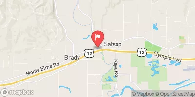
Satsop River Near Satsop, Wa Realtime Data
SATSOP RIVER NEAR SATSOP, WA
Realtime Data • Report • Conditions
290
Discharge (cfs)
27.8
Gauge Height (ft)
USGS 12035000
Streamflow discharge was last observed at 290 cfs, and a gauge height of 27.81 feet.
With the
% decrease since yesterday,
the streamflow average over the past 10 days is 307 .
Weather today, Tomorrow,
The river's constituents include rainwater, snowmelt, and groundwater. The Satsop River has no significant tributaries or dams, but it is influenced by nearby logging activities. The flow of the river is highest in the winter and early spring due to precipitation, and lowest in the summer and early fall due to low rainfall. Interestingly, the Satsop River was once considered as a potential dam site, but the project was abandoned due to concerns about the impact on local fish populations.
October 13, 2026
| Elevation | 34.0 ft |
| Last Updated | |
| Turbidity, water, unfiltered, monochrome near infra-red LED light, 780-900 nm, detection angle 90 ±2.5°, formazin nephelometric units (FNU) | 2.0 FNU |
| Gage height, ft | 27.81 ft |
| Streamflow, ft³/s | 290.0 ft3/s |
| Percent of Normal | 50% |
| Year Over Year Average | 589 cfs |
| 24hr Flow Prediction | cfs |
| Maximum Recorded | 41,600 cfs |
 Continue with Snoflo Premium