

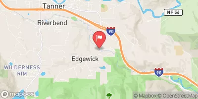
Sf Snoqualmie River At Edgewick, Wa Realtime Data
SF SNOQUALMIE RIVER AT EDGEWICK, WA
Realtime Data • Report • Conditions
49
Discharge (cfs)
5.8
Gauge Height (ft)
Streamflow discharge was last observed at 49 cfs, and a gauge height of 5.83 feet.
With the
% decrease since yesterday,
the streamflow average over the past 10 days is 53 .
Weather today, Tomorrow,
The river is fed by several tributaries, including the Tolt River and the Middle Fork Snoqualmie River, and is affected by nearby dams such as the Snoqualmie Falls Hydroelectric Project. The streamgauge data reveals seasonal trends, with higher flow rates during the winter and lower flows during the summer. Interestingly, the Snoqualmie River has a unique hydrology due to its proximity to the Cascades, which creates large amounts of snowmelt runoff in the spring and summer, leading to occasional flooding. This information is essential for understanding the hydrological cycle and managing water resources in the Snoqualmie River watershed.
October 22, 2026
| Elevation | 581.0 ft |
| Last Updated | |
| Gage height, ft | 5.83 ft |
| Streamflow, ft³/s | 48.5 ft3/s |
| Percent of Normal | 30% |
| Year Over Year Average | 164 cfs |
| 24hr Flow Prediction | cfs |
| Maximum Recorded | 9,400 cfs |
| Geolocation | 47.45, -121.72 |
 Continue with Snoflo Premium