

South Fork Chehalis River Near Wildwood, Wa Realtime Data
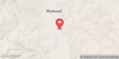
SOUTH FORK CHEHALIS RIVER NEAR WILDWOOD, WA
Realtime Data • Report • Conditions
19
Discharge (cfs)
356.2
Gauge Height (ft)
Streamflow discharge was last observed at 19 cfs, and a gauge height of 356.21 feet.
With the
% decrease since yesterday,
the streamflow average over the past 10 days is 19 .
Weather today, Tomorrow,
The main source of water for the river comes from snowmelt and rainfall. There are no significant tributaries or dams in the immediate vicinity of the gauge. The flow of the river is typically highest in the winter months due to increased rainfall and snowmelt, and lowest in the summer months. The South Fork Chehalis River is known for its steelhead and salmon populations and is a popular spot for fishing. Additionally, the river is home to several species of freshwater mussels, including the western pearlshell mussel, which is considered a species of concern.
October 13, 2026
| Elevation | 363.0 ft |
| Last Updated | |
| Gage height, ft | 356.21 ft |
| Streamflow, ft³/s | 18.5 ft3/s |
| Precipitation, total, in | 0.0 in |
| Percent of Normal | 96% |
| Year Over Year Average | 19 cfs |
| 24hr Flow Prediction | cfs |
| Maximum Recorded | 7,480 cfs |
| Geolocation | 46.44, -123.08 |
 Continue with Snoflo Premium