

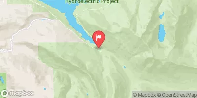
South Fork Sultan River Near Sultan, Wa Realtime Data
SOUTH FORK SULTAN RIVER NEAR SULTAN, WA
Realtime Data • Report • Conditions
13
Discharge (cfs)
8.4
Gauge Height (ft)
Streamflow discharge was last observed at 13 cfs, and a gauge height of 8.38 feet.
With the
% decrease since yesterday,
the streamflow average over the past 10 days is 16 .
Weather today, Tomorrow,
The river is fed by snowmelt and rain in the surrounding mountains, and its flow can be affected by seasonal trends. The river is not impacted by any major dams or tributaries. Some quirky facts about the hydrology of the South Fork Sultan River include the presence of glacial silt which gives the water a cloudy appearance and the frequent occurrence of log jams, which can cause the river to change course or form new channels. Understanding the hydrology of this river is important for managing water resources and protecting the surrounding ecosystem.
October 22, 2026
| Elevation | 1,521.0 ft |
| Last Updated | |
| Gage height, ft | 8.38 ft |
| Temperature, water, °C | 6.8 deg C |
| Streamflow, ft³/s | 12.8 ft3/s |
| Percent of Normal | 13% |
| Year Over Year Average | 106 cfs |
| 24hr Flow Prediction | cfs |
| Maximum Recorded | 4,530 cfs |
| Geolocation | 47.95, -121.63 |
 Continue with Snoflo Premium