

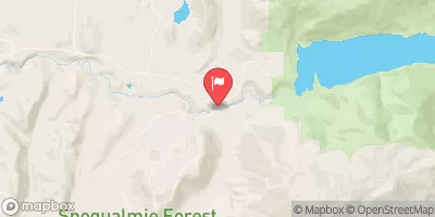
South Fork Tolt River Near Carnation, Wa Realtime Data
SOUTH FORK TOLT RIVER NEAR CARNATION, WA
Realtime Data • Report • Conditions
57
Discharge (cfs)
1.9
Gauge Height (ft)
USGS 12148000
Streamflow discharge was last observed at 57 cfs, and a gauge height of 1.87 feet.
With the
% decrease since yesterday,
the streamflow average over the past 10 days is 56 .
Weather today, Tomorrow,
The river is fed by several small tributaries and is free-flowing with no major dams. Seasonal trends show higher flows during the winter and spring months due to increased precipitation and snowmelt. The hydrology of the South Fork Tolt River is crucial for the surrounding ecosystem and supports various fish species such as Chinook salmon and steelhead trout. Interestingly, the river also runs through the Tolt-MacDonald Park, which is a popular recreational area for hiking, fishing, and kayaking.
October 22, 2026
| Elevation | 1,360.0 ft |
| Last Updated | |
| Gage height, ft | 1.87 ft |
| Streamflow, ft³/s | 56.6 ft3/s |
| Turbidity, water, unfiltered, monochrome near infra-red LED light, 780-900 nm, detection angle 90 ±2.5°, formazin nephelometric units (FNU) | 0.9 FNU |
| Temperature, air, °C | 8.0 deg C |
| Temperature, water, °C | 12.0 deg C |
| Percent of Normal | 84% |
| Year Over Year Average | 68 cfs |
| 24hr Flow Prediction | cfs |
| Maximum Recorded | 2,060 cfs |
| Geolocation | 47.69, -121.71 |
 Continue with Snoflo Premium