

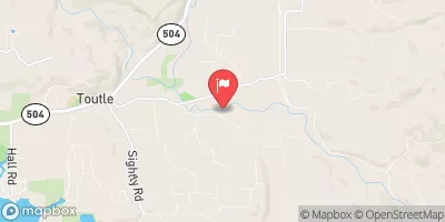
South Fork Toutle River At Toutle, Wa Realtime Data
SOUTH FORK TOUTLE RIVER AT TOUTLE, WA
Realtime Data • Report • Conditions
Discharge (cfs)
-999999.0
Gauge Height (ft)
USGS 14241500
Streamflow discharge was last observed at 868 cfs, and a gauge height of -999999.00 feet.
With the
% decrease since yesterday,
the streamflow average over the past 10 days is 868 .
Weather today, Tomorrow,
The river is fed by several tributaries, including a few small streams and creeks, but does not have any major dams. The flow of the river varies seasonally, with the highest flows typically occurring during the winter and spring months. Interestingly, the South Fork Toutle River was heavily impacted by the 1980 eruption of Mount St. Helens, which caused significant changes to the river's hydrology and ecology. Today, the river is a popular destination for fishing, rafting, and other outdoor recreation activities.
October 15, 2026
| Elevation | 462.0 ft |
| Last Updated | |
| Gauge Height | -999999.00 ft |
| Observed Discharge | cfs |
| Percent of Normal | % |
| Year Over Year Average | cfs |
| 24hr Flow Prediction | cfs |
| Maximum Recorded | cfs |
| Geolocation | 46.32, -122.70 |
 Continue with Snoflo Premium