

Blacks Fork Near Little America, Wy Realtime Data
BLACKS FORK NEAR LITTLE AMERICA, WY
Realtime Data • Report • Conditions
29
Discharge (cfs)
3.1
Gauge Height (ft)
USGS 09224700
Streamflow discharge was last observed at 29 cfs, and a gauge height of 3.13 feet.
With the
% decrease since yesterday,
the streamflow average over the past 10 days is 83 .
Weather today, Tomorrow,
There are no major dams or tributaries specifically related to this streamgauge. The flow is highest in the spring and early summer due to snowmelt, and lowest in the fall and winter. The hydrology of this area is unique due to the complex geology and topography of the region. It is also interesting to note that the Blacks Fork River was named by early French trappers who mistook the dark sediment in the river for coal.
October 22, 2026
| Elevation | 6,136.0 ft |
| Last Updated | |
| Gage height, ft | 3.13 ft |
| Streamflow, ft³/s | 28.9 ft3/s |
| Percent of Normal | 44% |
| Year Over Year Average | 67 cfs |
| 24hr Flow Prediction | cfs |
| Maximum Recorded | 4,570 cfs |
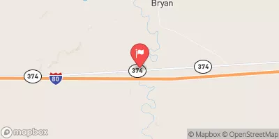
| Geolocation | 41.55, -109.69 |
 Continue with Snoflo Premium