

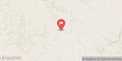
Clear Creek Near Arvada, Wy Realtime Data
CLEAR CREEK NEAR ARVADA, WY
Realtime Data • Report • Conditions
Discharge (cfs)
2.4
Gauge Height (ft)
USGS 06324000
Streamflow discharge was last observed at 256 cfs, and a gauge height of 2.39 feet.
With the
% decrease since yesterday,
the streamflow average over the past 10 days is 453 .
Weather today, Tomorrow,
It is fed by several tributaries, including Middle Fork Clear Creek and North Fork Clear Creek, and is subject to seasonal fluctuations in flow due to changes in precipitation and snowmelt. There are no major dams on the creek, but there are several smaller diversions for irrigation and other uses. Interestingly, Clear Creek was once home to a thriving gold mining industry in the late 1800s and early 1900s, and traces of this history can still be seen along the creek today.
October 13, 2026
| Elevation | 3,514.0 ft |
| Last Updated | |
| Gauge Height | 2.39 ft |
| Observed Discharge | cfs |
| Percent of Normal | % |
| Year Over Year Average | cfs |
| 24hr Flow Prediction | cfs |
| Maximum Recorded | cfs |
| Geolocation | 44.87, -106.08 |
 Continue with Snoflo Premium