

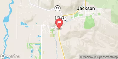
Flat Creek Bel Cache Creek, Near Jackson, Wy Realtime Data
FLAT CREEK BEL CACHE CREEK, NEAR JACKSON, WY
Realtime Data • Report • Conditions
83
Discharge (cfs)
1.9
Gauge Height (ft)
USGS 13018350
Streamflow discharge was last observed at 83 cfs, and a gauge height of 1.86 feet.
With the
% decrease since yesterday,
the streamflow average over the past 10 days is 48 .
Weather today, Tomorrow,
The primary contributors are snowmelt and precipitation. There are no significant tributaries or dams associated with the gauge. The flow tends to be highest in the spring and early summer due to snowmelt and decreases throughout the year. One interesting fact is that the Flat Creek Bel Cache Creek watershed is home to a variety of wildlife, including elk, moose, and grizzly bears. The hydrology of the area is important for understanding water resources in the region and for managing wildlife populations.
October 3, 2026
| Elevation | 6,130.0 ft |
| Last Updated | |
| Gage height, ft | 1.86 ft |
| Stream water level elevation above NAVD 1988, in ft | 6113.07 ft |
| Streamflow, ft³/s | 82.5 ft3/s |
| Turbidity, water, unfiltered, monochrome near infra-red LED light, 780-900 nm, detection angle 90 ±2.5°, formazin nephelometric units (FNU) | 0.4 FNU |
| Temperature, water, °C | 10.5 deg C |
| Percent of Normal | 100% |
| Year Over Year Average | 83 cfs |
| 24hr Flow Prediction | cfs |
| Maximum Recorded | 387 cfs |
| Geolocation | 43.46, -110.79 |
 Continue with Snoflo Premium