

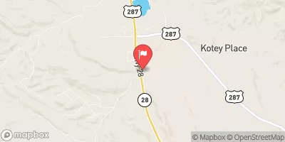
Little Popo Agie River Near Lander, Wyo. Realtime Data
LITTLE POPO AGIE RIVER NEAR LANDER, WYO.
Realtime Data • Report • Conditions
Discharge (cfs)
2.5
Gauge Height (ft)
USGS 06233000
Streamflow discharge was last observed at 25 cfs, and a gauge height of 2.50 feet.
With the
% decrease since yesterday,
the streamflow average over the past 10 days is 28 .
Weather today, Tomorrow,
The river is primarily fed by snowmelt and rainfall, with potential tributaries including the South Fork Little Popo Agie River and Baldwin Creek. There are no significant dams on the river. Seasonal trends show higher flows in the spring and early summer due to snowmelt, and lower flows in the fall and winter. The hydrology of the river is interesting because it disappears underground for a stretch of about a mile before resurfacing downstream. This unique feature is known as a "disappearing stream" or "losing stream."
October 20, 2026
| Elevation | 5,441.0 ft |
| Last Updated | |
| Gauge Height | 2.50 ft |
| Observed Discharge | cfs |
| Percent of Normal | % |
| Year Over Year Average | cfs |
| 24hr Flow Prediction | cfs |
| Maximum Recorded | cfs |
| Geolocation | 42.72, -108.64 |
 Continue with Snoflo Premium