

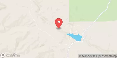
North Fork Powder River Near Hazelton, Wy Realtime Data
NORTH FORK POWDER RIVER NEAR HAZELTON, WY
Realtime Data • Report • Conditions
3
Discharge (cfs)
2.0
Gauge Height (ft)
Streamflow discharge was last observed at 3 cfs, and a gauge height of 1.99 feet.
With the
% decrease since yesterday,
the streamflow average over the past 10 days is 3 .
Weather today, Tomorrow,
This river is primarily fed by snowmelt and precipitation in the surrounding area. There are no major dams on this river, but there are several smaller tributaries that contribute to its flow. The river experiences seasonal trends in flow, with peak flows occurring during late spring and early summer due to snowmelt. Additionally, the river may experience flash floods during heavy rain events in the summer months. One interesting fact about the hydrology of this river is that it is part of the Powder River Basin, which is a major coal-producing region in the United States.
October 23, 2026
| Elevation | 8,201.0 ft |
| Last Updated | |
| Gage height, feet | 1.99 ft |
| Streamflow, ft3/s | 2.8 ft3/s |
| Percent of Normal | 51% |
| Year Over Year Average | 6 cfs |
| 24hr Flow Prediction | cfs |
| Maximum Recorded | 469 cfs |
| Geolocation | 44.03, -107.08 |
 Continue with Snoflo Premium