

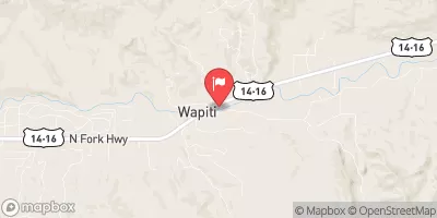
North Fork Shoshone River At Wapiti, Wy Realtime Data
NORTH FORK SHOSHONE RIVER AT WAPITI, WY
Realtime Data • Report • Conditions
313
Discharge (cfs)
3.3
Gauge Height (ft)
Streamflow discharge was last observed at 274 cfs, and a gauge height of 3.32 feet.
With the
% decrease since yesterday,
the streamflow average over the past 10 days is 260 .
Weather today, Tomorrow,
The river is fed by snowmelt and precipitation and has several tributaries, including the South Fork and Buffalo Bill Creek. The river flows through the Shoshone National Forest and is dammed to create the Buffalo Bill Reservoir. Summer months see higher flows due to increased snowmelt and rainfall, while winter months have lower flows. The hydrology of the North Fork Shoshone River is unique because it is home to several species of trout, including the Yellowstone cutthroat trout, and is a popular destination for fly fishing enthusiasts.
October 15, 2026
| Elevation | 5,564.0 ft |
| Last Updated | |
| Gage height, ft | 3.32 ft |
| Streamflow, ft³/s | 274.0 ft3/s |
| Percent of Normal | 86% |
| Year Over Year Average | 366 cfs |
| 24hr Flow Prediction | cfs |
| Maximum Recorded | 9,810 cfs |
| Geolocation | 44.47, -109.43 |
 Continue with Snoflo Premium