

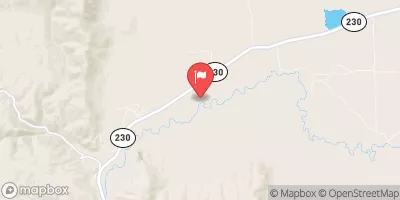
Pioneer Canal Near Woods, Wy Realtime Data
PIONEER CANAL NEAR WOODS, WY
Realtime Data • Report • Conditions
Discharge (cfs)
1.6
Gauge Height (ft)
Streamflow discharge was last observed at 174 cfs, and a gauge height of 1.63 feet.
With the
% decrease since yesterday,
the streamflow average over the past 10 days is 625 .
Weather today, Tomorrow,
It is fed by the Big Sandy River, which originates in the Wind River Mountains. The flow of the canal is controlled by a dam at the head of the canal, and the water is distributed through a network of smaller canals and ditches. The flow of the canal is highest in the spring and early summer when snowmelt is at its peak. The canal has a long history of providing water to the area, dating back to the early 1900s, and it is still an essential part of the local economy. One interesting fact about the canal is that it is home to a variety of wildlife, including otters, beavers, and trout.
October 22, 2026
| Elevation | 7,393.0 ft |
| Last Updated | |
| Gauge Height | 1.63 ft |
| Observed Discharge | cfs |
| Percent of Normal | % |
| Year Over Year Average | cfs |
| 24hr Flow Prediction | cfs |
| Maximum Recorded | cfs |
| Geolocation | 41.14, -105.98 |
 Continue with Snoflo Premium