

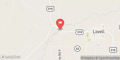
Shoshone River Near Lovell, Wy Realtime Data
SHOSHONE RIVER NEAR LOVELL, WY
Realtime Data • Report • Conditions
560
Discharge (cfs)
4.9
Gauge Height (ft)
Streamflow discharge was last observed at 560 cfs, and a gauge height of 4.85 feet.
With the
% decrease since yesterday,
the streamflow average over the past 10 days is 779 .
Weather today, Tomorrow,
The river is fed by snowmelt runoff from the nearby mountains and is also affected by seasonal changes in precipitation. The river has several tributaries, including the Greybull River, which flows into it near the town of Greybull. There are also several dams along the river, including the Buffalo Bill Dam, which was built in the early 20th century to provide irrigation water to nearby farms. Interesting facts about the hydrology of the area include the presence of hot springs along the river and the fact that the river is home to several species of fish, including cutthroat trout and mountain whitefish.
October 23, 2026
| Elevation | 3,853.0 ft |
| Last Updated | |
| Gage height, ft | 4.85 ft |
| Temperature, water, °C | 12.6 deg C |
| Streamflow, ft³/s | 560.0 ft3/s |
| Percent of Normal | 88% |
| Year Over Year Average | 641 cfs |
| 24hr Flow Prediction | cfs |
| Maximum Recorded | 8,570 cfs |
 Continue with Snoflo Premium