

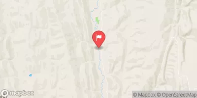
Smiths Fork Near Border, Wy Realtime Data
SMITHS FORK NEAR BORDER, WY
Realtime Data • Report • Conditions
60
Discharge (cfs)
1.1
Gauge Height (ft)
USGS 10032000
Streamflow discharge was last observed at 64 cfs, and a gauge height of 1.08 feet.
With the
% decrease since yesterday,
the streamflow average over the past 10 days is 66 .
Weather today, Tomorrow,
The river's primary source of flow is snowmelt from the Uinta Mountains. There are no significant tributaries or dams on this river. The highest flow typically occurs in June due to snowmelt, while the lowest flow occurs in September. Interestingly, the Smiths Fork river is home to the rare Bonneville cutthroat trout, which is a species of conservation concern.
October 23, 2026
| Elevation | 6,710.0 ft |
| Last Updated | |
| Gage height, ft | 1.08 ft |
| Streamflow, ft³/s | 63.5 ft3/s |
| Precipitation, total, in | 0.03 in |
| Percent of Normal | 71% |
| Year Over Year Average | 85 cfs |
| 24hr Flow Prediction | cfs |
| Maximum Recorded | 1,450 cfs |
| Geolocation | 42.29, -110.87 |
 Continue with Snoflo Premium